MagneticsMagnetics
Geophysics
Magnetics

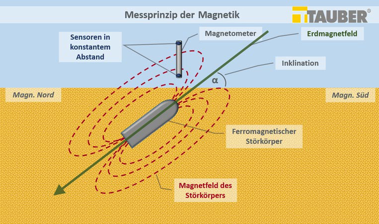
Measuring principle
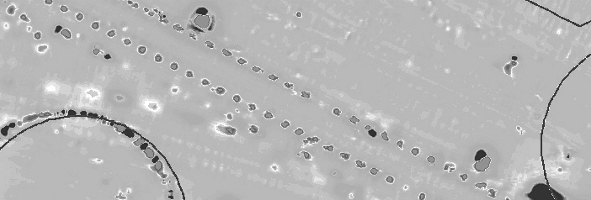
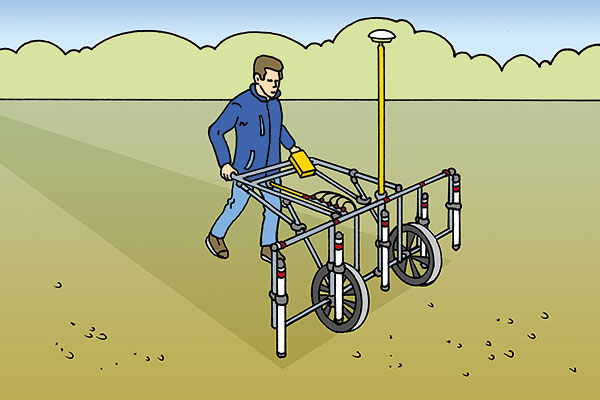
Magnetics is a passive geophysical process and is often used for the search for ferromagnetic materials, such as iron. It measures the local magnetic field. Thus, a ferromagnetic obstruction in the subsoil causes the magnetic field to change around the object. A magnetometer on the surface or in a borehole can detect this deviation and identify the obstruction as an abnormality.
The size of the obstruction and the distance to the measuring point determine the changes in the magnetic field. Large iron objects can be detected down to a maximum depth of six meters from the surface.
Calculation of objects
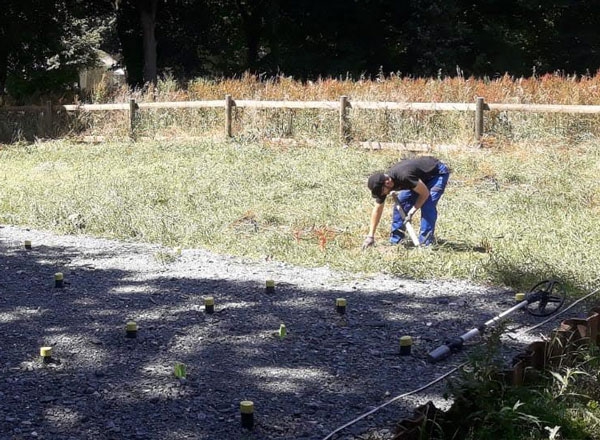
The measurement data is the basis for the evaluation and modeling by our experienced geophysicists. Specialized software is used to examine and model the anomalies in order to classify them in terms of size, depth and relevance.
The applied technology
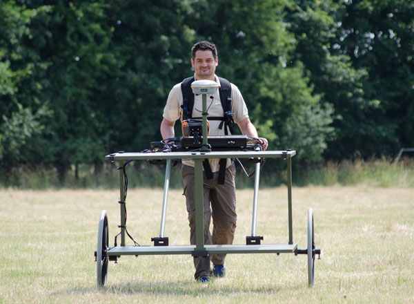
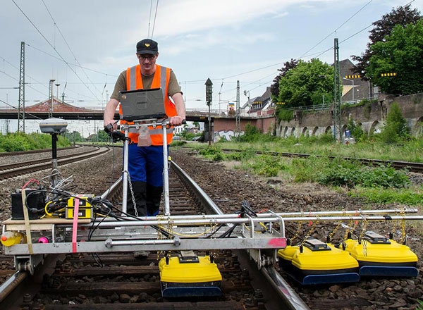
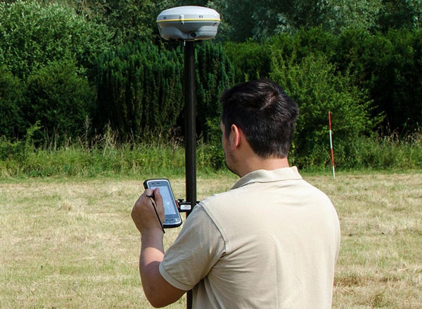
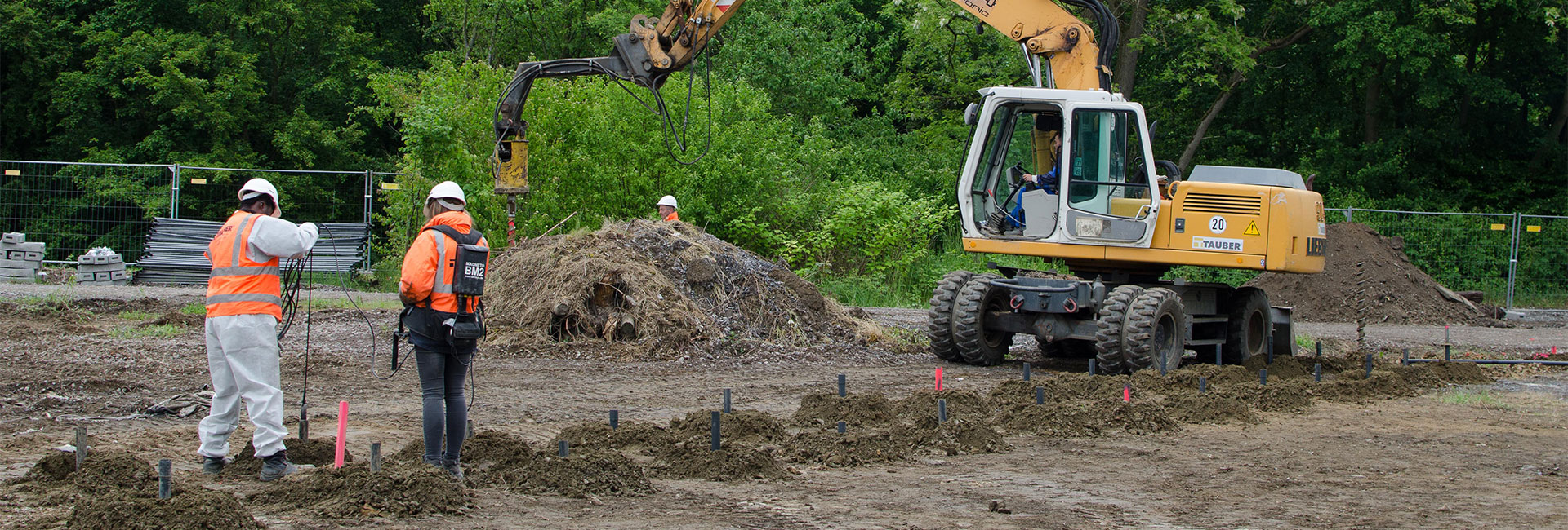
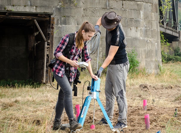
Our experts at TAUBER use magnetometers from different manufacturers. Possible applications are:
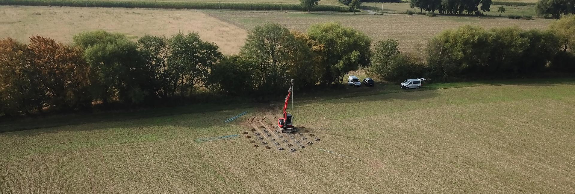
- Borehole exploration
- Surface exploration
- Land clearance
- Vehicle-based multi-channel exploration
- Marine multi-channel exploration (water depth of up to ten meters)
- Multi-channel exploration of hard-to-reach terrain (e.g. bog, mudflat, oil fields) by amphibious vehicle or drone
In addition to normal 1-axis magnetometers, high-precision 3-axis magnetometers can also be used for the borehole exploration. They are used to detect hidden weapons in very challenging situations – such as directly next to sheet pile or for horizontal measurements.
Geophysics

Magnetics